Overview
Information about ocean uses is an essential component of marine planning and coastal and ocean resource management. These data can be hard to acquire, mainly because this knowledge resides with a wide variety of user groups, including recreational fishermen and boaters, surfers, underwater explorers, and commercial boaters.
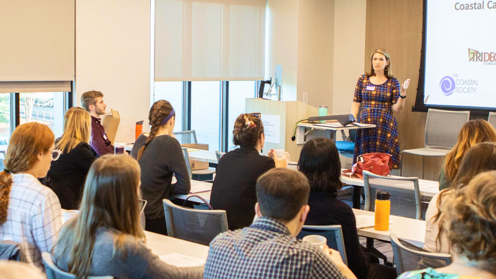
This guide and associated job aids outline steps and provide ready resources for designing effective participatory GIS workshops that gather map-based information about ocean use.
Five-Step Process:
- Scope and plan the workshop
- Design the workshop
- Implement the workshop
- Process and analyze the collected data
- Validate and publish the data
