Overview
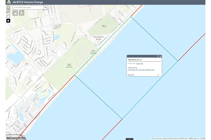
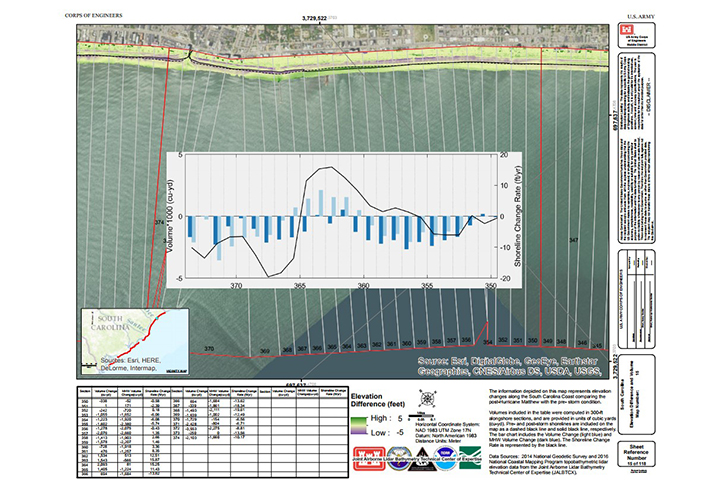
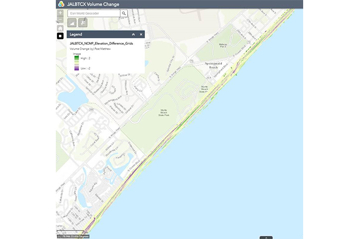
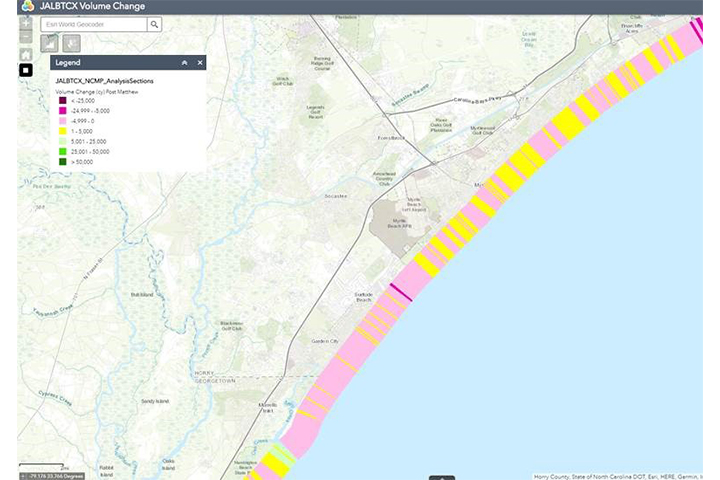
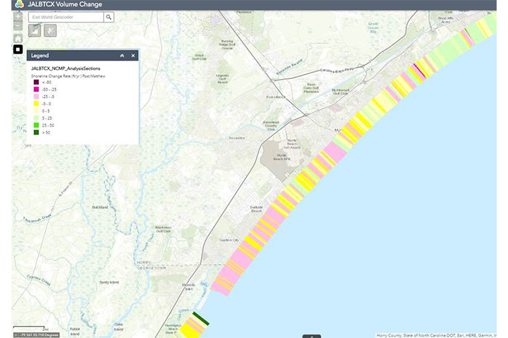
This tool allows users to view, query, and download data derived from comparing multiple lidar data sets and the changes between them. Derived coastal metrics include shoreline change, volume change, mean high water (MHW) volume change, and above-MHW volume change. Data derive from the Joint Airborne Lidar Bathymetry Technical Center of Expertise (JALBTCX) and are coordinated through the Interagency Working Group–Ocean and Coastal Mapping (IWG-OCM).
Features
- View, query, and download change data
- Analyze shoreline, volume, and mean-high-water volume changes
- View and download map products showing elevation change
Tool Screenshots