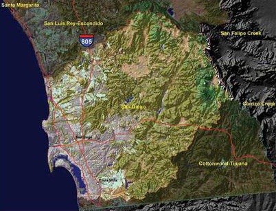
Issue
Water is one of the most important natural resources in this region. When natural vegetation is replaced with an impervious surface, the natural hydrology cycle is altered, increasing stormwater runoff and reducing groundwater recharge. The result is more frequent flooding, higher flood peak flow, lower base flow in streams, and lower water table levels.
Process
To analyze how the natural vegetation has changed over time, the Global Ecosystem Center used NOAA’s C-CAP land cover data sets from 1996, 2001, and 2005. C-CAP provides a nationally standardized source for accurate baseline information, and because all of the data are created using the same criteria and standards, data from various years can be compared, providing an effective way to document change. For this project, additional archived Landsat imagery from 1984 and 2011 was also used to document a longer time span. An urban ecosystem analysis was employed to calculate the impact of this land cover change on stormwater runoff.
Impact
Tremendous growth in impervious was documented over the 26-year period. The information gathered allowed decision-makers to geographically pinpoint where impervious surface increase is altering natural hydrology. This information is used to develop improved strategies for land use and natural resource management.

